When it comes to finding your bearings, there is no such thing as a “sixth sense of direction,” as if a person is just gifted. A skill overlooked by many outdoorsmen is observation. Nature presents signs in ways that are not always obvious, but just because we cannot see them right away doesn’t mean the signs aren’t there. In foul weather, these signs must be learned and practiced.
When a person first enters the woods, desert, or jungle, everything looks alike. But after repeated trips, one can differentiate what is common and pay it no attention. Imagine trying to remember all the signs and marks in a one-mile walk. A person would be overwhelmed. What is uncommon will be easily seen and leave an impression on the mind. When the weather turns foul and a compass is absent, using the sky for navigation is ruled out—as is leaving breadcrumbs behind like a character in a fairy tale.
Table of Contents
USING THE SUN
The shadow-stick method is a simple way of finding general direction. But it relies entirely on the sun. To try this technique, cut a stick about three to four feet long and stick it in the ground. I have read that you should sharpen the end of the stick that faces up so that the shadow it produces is more defined, but if you are on rocky terrain, you may have to hammer the stick into the ground with a rock or piece of wood.
The books all say to find a clear, level area to perform this act, but sometimes that’s not as easy as it sounds. Just because it’s in a book doesn’t mean the sun will follow suit. Wherever direct sunlight is present is where to do this.
Clear the area of debris. Only a small area needs to be cleared—kick rocks aside or, if in the brush, pull out handfuls of grass or use a machete if one is available. With the stick vertically stuck in the ground, take note of the shadow it produces and mark the tip of the shadow with a small rock. Wait about 15 minutes and mark the tip of the shadow again and wait. After another 15 minutes, place another rock at the tip of the shadow’s position.
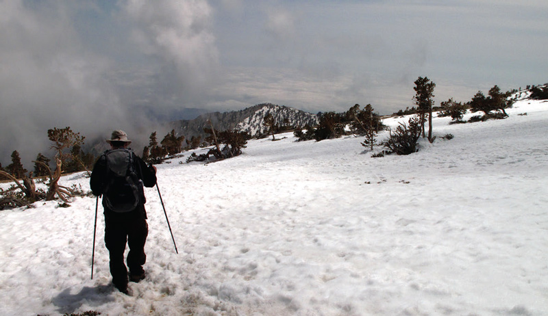
Get another straight thin stick or use a length of cord to form a line from the first marking to the last. This is your east-west line, with the first marking being west. Compare it to a compass (in practice) and you’ll see it’s pretty accurate. This requires at least 15 to 30 minutes of sunlight.
NATURE’S COMPASS MARKS
With bad weather being the theme of a recent survival class I taught, we pointed out a few other ways to get your bearings without a compass.
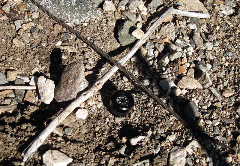
Slopes or mountainsides are a dead giveaway. We were camped in a shaded area surrounded by oak and pine trees that rarely got any sunlight. In this area, there was more obvious moss on the trees. Across from us, we could clearly see sun on that side of the mountain all day long. That terrain was more of the high-desert variety—desert scrub, Manzanita, some cactus, yucca and fewer pine trees. Dry grass was prevalent and quite abundant.
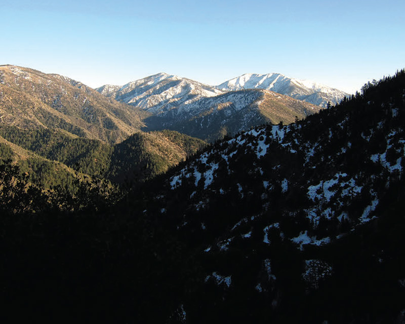
This told us two things.
One, we were looking at a southfacing slope, warmer and drier from the amount of sun it receives, which is indicative of the type of terrain.
Two, we were on the north-facing slope, more commonly known as the north face. This area receives less (if any) sunshine. Snow will stay longer on the north face, and temperatures will be much cooler. It is not the ideal area for a survival shelter like the books and “experts” say. However, it has the best materials for making primitive shelters. Such a compromise must be made by the camp party. That discussion deserves its own article.
TREE RINGS
Over 500 years ago, Leonardo da Vinci, that universal genius, wrote, “The rings of trees show how many years they have lived, and their greater or smaller size shows whether the years were damp or drier. They also show the direction in which they were turned, because they are larger on the north side than on the south, and for this reason the center of the tree is nearer the bark on the south than on the north side.”
In widely separated parts of the world, it has been proven that the thickness of annual rings of wood growth is more pronounced on the north side than the south side of a tree. This is something that one only has occasion to see on tree stumps that have been cut cleanly across by either loggers or forestry.
In 1893, this theory was tested by the New York State Forest Commission. Foresters were directed to examine the thickening of the annual rings in black spruce trees of the Adirondacks. Using a compass, 700 trees of varying sun exposure were examined to determine which direction the longest radius of wood growth pointed. The results: 42 trees pointed south, west, southwest, and northwest—a whopping 6%. The total number of trees pointing north and northeast was 658, or 94%.
The bark on a tree is also much thicker on the north and northeast sides than on the other sides. This is generally true of older trees.
LIFELONG STUDY
These simple facts by no means complete the study of navigation. They are merely a small piece of the art. Like many other aspects of survival, bushcraft or whatever it is being called these days, navigation is a lifelong study.
There are many different facets of navigation, including the flight of birds, winds, map and compass, not to mention more modern devices. A person can work out their course by averaging the signs around them. Observation is a woodsman’s skill that can be developed and sharpened over the course of multiple trips into the great outdoors. Take a walk in the woods with a compass, compare it to the natural signs, and mentally connect the dots.
A level head is your best tool when an outdoors excursion goes bad and you find yourself against all odds!
